How to use the real-time information about Delhi’s bus services on Google Maps
The information comes from the Delhi Transport Ministry and it will tell you exactly when the bus is expected to arrive.

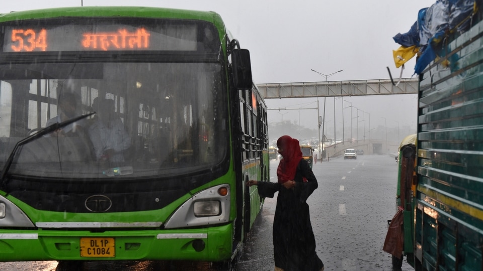
If you are someone who uses buses to commute in Delhi, we have some good news for you. Google Maps is now going to show you real-time information about buses in Delhi so you can plan your commute better. Google has joined hands with the Delhi Transport Ministry, Delhi Integrated Multi-Modal Transit System (DIMTS), Indraprastha Institute of Information Technology (IIIT) Delhi, and Lepton Software to add real-time information about buses for the city on Google Maps.
New information on Google Maps will help you decide what bus to catch and more importantly it is going to tell you when the next bus is going to arrive at your stop. You will also be able to get an estimate of how long your trip is going to be in case your bus gets delayed. Google Transit is also going to automatically update the times on the map in line with new conditions. The arrival times are based on real-time information and will be marked in red or green on Google Maps.
How to use the new bus information on Google Maps
This real-time bus information is available only for Delhi right now. So Google Map users in Delhi can open the app on their smartphone and get going.
- Enter your destination and click on ‘Go'. Now, enter ‘Source' and ‘Destination' locations.
- Next, tap on the ‘transit' icon, the one that looks like a little tram, so see bus numbers, times, routes, real-time arrival information. This information will be highlighted in red or green on the map.
- You can tp on recommended routes to view more information about the stops on route.
- You can tap on bus stops to see a listing of all arriving buses and the relevant real-time information is going to be shown in red or green.
You can also access real-time bus information by looking for a particular bus stop, tapping its name and the listed bus numbers. This will show you a listing of all buses arriving and the location-enabled buses will display their real-time ETA. This feature is also available in Hindi and you can change the language on Google Maps settings from your smartphone's language settings. Public transit information is already available on Google Maps for many Indian cities with more being added every day.
Catch all the Latest Tech News, Mobile News, Laptop News, Gaming news, Wearables News , How To News, also keep up with us on Whatsapp channel,Twitter, Facebook, Google News, and Instagram. For our latest videos, subscribe to our YouTube channel.


