Home  Photos Unforgettable! ISRO’s INSAT-3D satellite snaps mesmerizing HD images of Earth with focus on India
Unforgettable! ISRO’s INSAT-3D satellite snaps mesmerizing HD images of Earth with focus on India
ISRO’s INSAT-3D satellite captures mesmerizing images of Earth with great focus on India in several different wavelength bands. Know how the images were taken.
 has shared stunning images of Earth that were captured by the INSAT-3D satellite. The images were the first set of data shared by the satellite with the Indian space agency. The images of Earth showcase the different atmospheric behaviour and all this data could help researchers gain insight into the ongoing changes that are going on in quick time.")
 has shared stunning images of Earth that were captured by the INSAT-3D satellite. The images were the first set of data shared by the satellite with the Indian space agency. The images of Earth showcase the different atmospheric behaviour and all this data could help researchers gain insight into the ongoing changes that are going on in quick time.")
, Ahmedabad. The images were processed at the Master Control Facility, Hasan.")
, Ahmedabad. The images were processed at the Master Control Facility, Hasan.")


First Published Date: 12 Mar, 13:02 IST
More From This Section
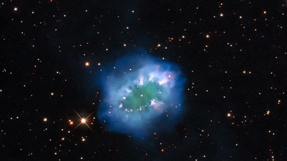
NASA James Webb Space Telescope clicks these 10 crazy cosmology images
27 April 2024

NASA Artemis mission: 8 important things to know about ‘returning humans to the Moon’
27 April 2024

81-foot asteroid to pass Earth soon, says NASA; Know details
27 April 2024
10 Celestial images captured by NASA Hubble Space Telescope in 2024
27 April 2024

NASA call for budding astronomers: How you can help observe and track asteroids in space
26 April 2024

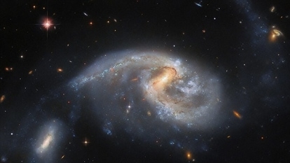
10 stunning star clusters captured by NASA’s Hubble Telescope
25 April 2024
NEXT ARTICLE BEGINS