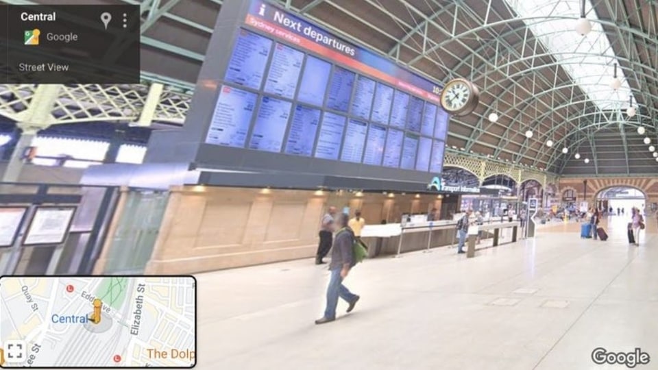
Google Maps gets indoor Street View, detailed train routes but not everyone can access it
There is a catch. These features are available only in Australia at the moment.

Google has launched a bunch of new features on its navigation app, Maps. These features are aimed at making journeys by train and metro more easy and accessible for users in Australia.
Firstly, the company has launched the indoor Street View imagery feature. This feature will enable users to virtually navigate interactive, panoramic imagery inside train and metro stations. Users will also be able to enjoy the history of many heritage metro stations. However, this feature is available only for 130 train and metro stations in Sydney.
In addition to this, the company is also bringing detailed navigation directions for accessible routes across 70 complex train and metro stations across Sydney to its platform. Google says that these tools will allow people to find the best and most accessible entrances, exits, signage and paths within the station and better anticipate in-transit travel times along these pathways.
Google is sharing these navigation directions with Transport for NSW so they can be published to the NSW government's Open Data Portal to enable the transport industry and app developers to access this information and find more solutions to enable accessible transit travel in the future.
If you are residing in Australia, you can find these directions for your route on desktop or mobile, by following this path: type your destination into Google Maps > tap the Directions option > select the public transport icon and any route options > detailed navigation instructions will be displayed if your route takes you through a complex station in Sydney.
Catch all the Latest Tech News, Mobile News, Laptop News, Gaming news, Wearables News , How To News, also keep up with us on Whatsapp channel,Twitter, Facebook, Google News, and Instagram. For our latest videos, subscribe to our YouTube channel.


