Google Maps now measures distance between two points
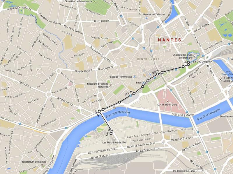
In addition to offering directions, the web version of Google Maps now allows users to simply calculate the distance between two points. The feature may come in handy when planning a trip off the beaten path, and it can even be used to calculate the dimensions of a monument or bridge, for example.

In addition to offering directions, the web version of Google Maps now allows users to simply calculate the distance between two points. The feature may come in handy when planning a trip off the beaten path, and it can even be used to calculate the dimensions of a monument or bridge, for example.
To measure the distance between point A and point B, simply right click on the starting point and select 'Measure distance.' Next, click on the destination, which can be anywhere on the map, to see the distance. Multiple points can be added to the route to trace a specific path, potentially with detours if desired. Users can also drag any point on the route to change it or simply click on a given point to delete it. As these changes are made, Google automatically recalculates and displays the total distance.
Those who are still using the 'classic' version of Google Maps have access to the same service, although they may need to activate by clicking on 'Labs' at the bottom of the left-hand panel. The feature can then be accessed by clicking on the ruler icon on the lower left-hand side of the map.
The distance measurement tool works in both the satellite and maps modes on the web version, although it is not yet available on the mobile app.
Catch all the Latest Tech News, Mobile News, Laptop News, Gaming news, Wearables News , How To News, also keep up with us on Whatsapp channel,Twitter, Facebook, Google News, and Instagram. For our latest videos, subscribe to our YouTube channel.


