NASA Astronomy Picture of the Day 12 February 2023: Awesome Mammatus clouds
NASA Astronomy Picture of the Day is an unusual image of clouds hovering over Nebraska, US. What’s the mystery behind these unusual clouds? Read on.
 View all Images
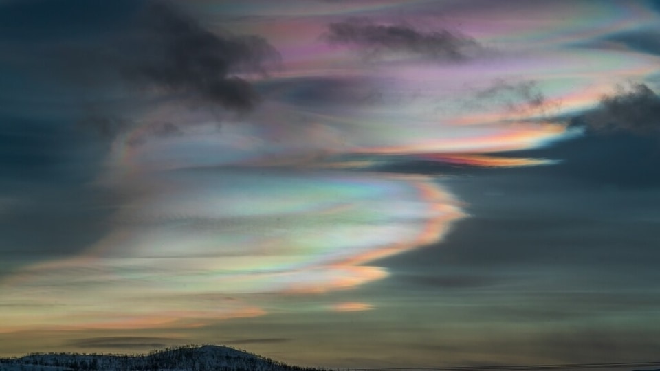
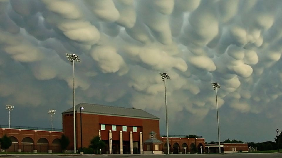
Nature is the ultimate beauty! Whether it is about volcanoes, beaches, mountains, valleys, rivers, seas, forests and even clouds, nature never leaves a chance to surprise us. Well, how do you usually see clouds? NASA says that normally, cloud bottoms are flat. However, NASA's Astronomy Picture of the Day today is of an cluster of clouds that appear like bubbles from the bottom hovering over Nebraska, a state in the Midwestern region of the United States.
NASA explained along with the image that clouds do look bubbly “because moist warm air that rises and cools will condense into water droplets at a specific temperature, which usually corresponds to a very specific height. As water droplets grow, an opaque cloud forms.” However, in certain circumstances, cloud pockets can form containing substantial droplets of water or ice, which fall into clear air as they dissipate. These pockets can arise in the air that is turbulent close to a thunderstorm. When sunlit from the side, Mammatus clouds that form as a result can appear particularly striking.
This unusual form of clouds is known as the Mammatus clouds which are pictured here over Hastings, Nebraska in 2004 June.
More about Mammatus clouds
The Met Office of the UK explained that Mammatus clouds are among the most extraordinary and easily recognizable cloud formations, with a pattern of protuberances or sacs extending from the base of the cloud. The shapes of mammatus formations can vary greatly; they can range from the typical bulging shape to a more elongated tube dangling from the cloud above.
Mammatus clouds generally appear in connection with substantial cumulonimbus clouds. The turbulence within the cumulonimbus often leads to the formation of Mammatus clouds, particularly on the bottom of the projecting anvil as it quickly descends to lower altitudes. This breaks from the conventional upward growth process of cloud formation, resulting in an irregular cloud base. Mammatus clouds usually emerge in association with Cumulonimbus clouds, which bring thunderstorms due to their massive quantity of unstable air.
Catch all the Latest Tech News, Mobile News, Laptop News, Gaming news, Wearables News , How To News, also keep up with us on Whatsapp channel,Twitter, Facebook, Google News, and Instagram. For our latest videos, subscribe to our YouTube channel.


