AI-powered Immersive View on Google Maps: Google engineer explains how it works
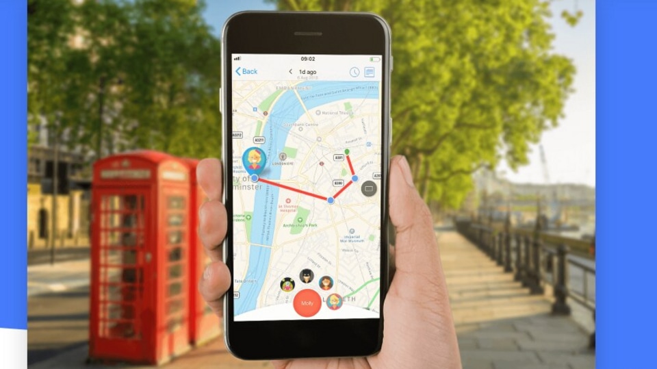
Immersive View on Google Maps combines regular navigation and Street View, using cameras on cars, planes, and backpacks to create 3D models of locations.




 View all Images
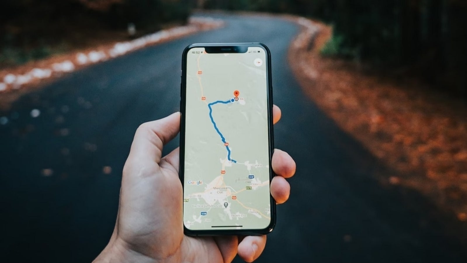
In recent months, Google Maps has been aiming to make navigating less complicated by converting how content appears on the map. In its efforts, Google has modified the colours for water and green areas, and it is making plans to change how the navigation appears, however, that hasn't occurred yet. But the maximum interesting change occurred last February when Google delivered something referred to as Immersive View for routes. It's been 12 months since it started, and now we can see the way it works.
Immersive View on Google Maps
Immersive View in Maps is a mixture of regular navigation and Street View, with a few clever laptop stuff thrown in. This offers you a top-down view of your direction, but there may be a number of computer paintings going on in the heritage. In an exclusive interview with CNET, Google engineer Daniel Filip shed light on how it works.
Google uses specific cameras on motors, planes, and backpacks to take photos for Street View. They then combine these photos with records from aerial cameras to make 3-D models of places.
You might have visible Google Maps cars using around cities taking images. They use those photos to make Street View. Over time, Google made their Digicam system smaller and lighter, so now they are able to map locations that motors cannot reach. But planes are also essential for getting the 3-D data utilized in Immersive View.
The cameras underneath the planes are distinct from the ones on cars. They have four lenses going through each differently, which creates a unique impact called parallax. Computers then flip those pics into 3D fashions of the ground and buildings, with details like symptoms and sidewalks. These planes additionally take images for Google Earth.
The Immersive View for routes does not just show still pics. It additionally has animations of what site visitors would possibly appear like at one-of-a-kind times of the day, and even shows such things as birds flying or people walking, as though it's taking place properly then. It additionally shows weather statistics, so you can plan your experience better.
Also, read other top stories today:
Sam Altman says he does not like ChatGPT name! Calls it horrible. So, if you are entering the world of AI, make sure you name your chatbot properly. Some interesting details in this article. Check it out here.
Big Tech Crackdown Evaded! Apple's iMessage and Microsoft's Bing search engine, Edge web browser and Advertising service will avoid strict new European Union rules reining in Big Tech platforms. Read more about it here.
Love Based on Financial Status? One of the few online dating moves that still makes people squeamish is filtering prospective partners based on financial status, and sites such as Millionaire Match emphasize prioritizing money. Know all about it here.
One more thing! We are now on WhatsApp Channels! Follow us there so you never miss any updates from the world of technology. To follow the HT Tech channel on WhatsApp, click here to join now!
Catch all the Latest Tech News, Mobile News, Laptop News, Gaming news, Wearables News , How To News, also keep up with us on Whatsapp channel,Twitter, Facebook, Google News, and Instagram. For our latest videos, subscribe to our YouTube channel.

