This ISRO tech could replace GPS on your smartphone: Key things to know
ISRO’s GPS alternative is coming to smartphones in India. Here are some of the key things you need to know about the NavIC.
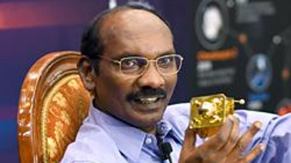
Indian Space Research Organisation (ISRO) is bringing its GPS alternative 'NavIC' to the common people. The space agency has partnered with Qualcomm, one of the world's biggest chipset companies, to integrate NavIC on its new processors meant for budget and mid-range smartphones. Xiaomi and Realme have already confirmed plans to launch phones with NavIC-enabled processors.
What is NavIC?
NavIC stands for Navigation with Indian Constellation and is based on the Sanskrit word for navigator or sailor. NavIC essentially refers to Indian Regional Navigation Satellite System (IRNSS), a collection of navigation-based satellites that aims to provide accurate position information service to Indian users. The service is quite similar to GPS (Global Position System). At the moment, NavIC consists of seven satellites.
The back story
Back in 1999, India sought GPS data from the US to track Pakistai troops positioned in Kargil. The information, however, was denied by the US. Since then, India had been working on an indigenous satellite system for location services. Almost two decades later, the NavIC system is inching closer to the commercial usage.
It is worth noting that the system aims to provide two types of services. The first "Standard Position Services" (SPS) will be available to all civilian users whereas the "Restricted Services" (RS) will be available to authorised users including defence and intelligence agencies.
NavIC also brings India to an elite club of the nations that have their satellite-based location services - US' GPS, the Russian Glonass, China's BeiDou and Galileo of Europe.
Better than GPS?
India's NavIC, now set to be embedded on millions of Android phones, is said to be much better than the US' GPS. The NavIC is said to be accurate up to 5 meters, much more efficient than GPS which is said to be accurate up to 20 to 30 meters.
NavIC's applications
ISRO says the NavIC is mainly aimed at users in India as well as the region extending up to 1,500km from its boundaries.
Users can expect their future phones to use NavIC to access location-based services such as Uber, Ola Cabs, Google Maps and more. The space agency says users can expect the satellite system to help provide visual and voice navigation for drivers.
According to the agency, the technology can be used for things such as disaster management, terrestrial navigation assistant to hikers and travellers, vehicle tracking and fleet management, precise timing, aerial and marine navigation, and more.
Catch all the Latest Tech News, Mobile News, Laptop News, Gaming news, Wearables News , How To News, also keep up with us on Whatsapp channel,Twitter, Facebook, Google News, and Instagram. For our latest videos, subscribe to our YouTube channel.

