Forget Google Maps, these Indian navigation apps will find even the smallest streets
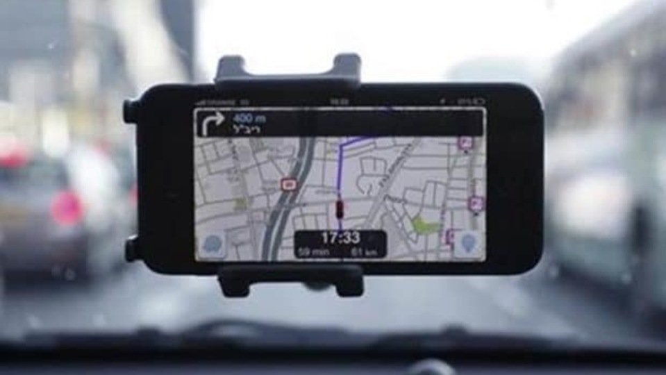
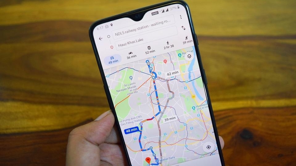
Google Maps can sometimes struggle to pinpoint a location in an area crowded and small streets. However, some Indian navigation apps claim that they can meet the India-centric demands very well.
_1617292427761_1617292466488.jpg)
 View all Images
Navanwita Bora Sachdev is a freelance contributor and the Editor of The Tech Panda
Google Maps might be the most used navigation app in India, but indigenous apps are rising up to meet India-centric consumer demands.
According to Million Insights, the global navigation app market size was valued at US$911.6 million in 2020 and is expected to expand at a CAGR of 10.8% from 2021 to 2028. The Asia Pacific held the largest revenue share of over 35% in 2020 because of rising demand for customizable routes for all vehicle types from the consumers of China and India.
Google Maps is taking advantage of this rising demand, with almost every Indian consumer using the app. However, since India's addressing systems are quite complicated, Google Maps doesn't always deliver, as many of us know. What's significant about the Indian navigation market is that it demands more accuracy.
“In India, navigation sometimes becomes a difficult task as some navigation apps predict routes and roads that don't really exist. It becomes a hassle to find relevant routers for navigation and that makes India stand out quite a bit,” Rajat Jain, Co-founder of Pataa, a startup creating a digital addressing app that creates a short code for an address and location, told The Tech Panda.
“In India, the hardest part of navigation is that many streets and roads look alike due to which finding the exact location becomes a difficult and tiresome process involving individually going through many lanes. Indian consumers look forward to knowing the exact coordinates of their destination so that they can reach there directly without having to request for directions,” he adds.
Google has often been called an anti-competitive monopoly that perpetuates its monopolies across newer markets through anti-competitive practices. Its recent appeal to NCLAT against the CCI order has come under fire.
“Google has made it pretty much impossible for alternative… apps like maps to proliferate amongst OEMs and users, even though better alternatives to Google exist in various categories,” Rohan Verma, CEO and ED of MapmyIndia said in a statement.
What does the Indian commuter wants from a navigation app?
The market in India is driven by the rising demand for 3D maps. Alternate routes, live HD traffic information, and up-to-date traffic information will contribute to fuel the growth. Moreover, the rising demand for the street view function is anticipated to boost growth. This indicates a potential market for navigation apps in India.
Indigenous navigation apps have the advantage of providing more local navigation services. For example, Pataa gives commuters freedom as they can also listen to pre-recorded voice directions from the nearest landmark, photos of the property and additional instructions to make navigation easy.
“Pataa is much more than just an app that provides navigation services. Pataa's primary feature is that it converts your long and complex address into a short digital address code. You can further add voice directions, photos, and route videos to that digital address code and share it with your visitor with a single tap. These features give us an advantage as an indigenous app that provides navigation services,” Jain explains.
Similarly, Mappls Junction View helps users drive and navigate safely when approaching flyovers, informing them through 3D photo-realistic guidance whether to climb or avoid, preventing confusion and accidents.
Another indigenous company is the Mumbai headquartered Genesys, an advanced mapping solutions company. Its services and solutions encompass technologies of 2D/3D mapping, HD mapping for autonomous driving, and Artificial Intelligence/Machine Learning for varied applications and industries, including urban development, telecom, disaster management, agriculture, navigation, etc.
With so many indigenous apps working hard to provide the Indian commuter with more and more accurate navigation, Google Maps might have to look harder at its services.
Catch all the Latest Tech News, Mobile News, Laptop News, Gaming news, Wearables News , How To News, also keep up with us on Whatsapp channel,Twitter, Facebook, Google News, and Instagram. For our latest videos, subscribe to our YouTube channel.


