This app turns smartphones into a remote-sensing device
The app gathers the data and allows the smartphone to operate autonomously, so that once airborne it can capture images according to the user’s specification
| Updated on: May 06 2016, 14:29 IST
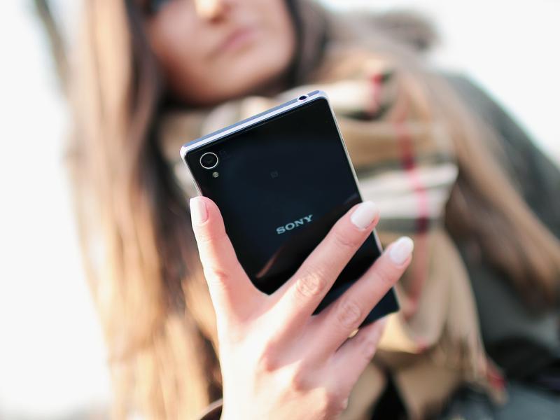
Researchers have created an app which could convert a smartphone into a self-contained remote sensing device, and help aid humanitarian rescue work in disaster-struck regions by using geographic data to map landscapes.
The android mobile phone application uses on-board sensors already within modern smartphones including the accelerometer, Global Positioning System (GPS), compass and camera, to generate ready-to-use spatial data when the device is suspended from lightweight aerial platforms such as drones or kites, researchers said.
You may be interested in
-
 Obsidian
 - 12 GB RAM
- 128 GB Storage

- Asteroid Black
- 16 GB RAM
- 512 GB Storage


The app gathers the data and allows the smartphone to operate autonomously, so that once airborne it can capture images according to the user's specification, they said.
"There are now more mobile devices than humans on Earth. This global distribution of devices offers a great opportunity for democratic mapping but until now, there have been no apps that exploit the comprehensive sensor sets in modern devices in this way," said Karen Anderson from University of Exeter in the UK.
"Currently the sensors on mobile phones harvest data about their users and send this information to third parties. We wanted to start using those data for beneficial purposes such as community-led mapping," said Anderson.
"Alongside recent developments with lightweight drones and a growing public appetite for open-source, free to use mapping data, we are excited to see the variety of mapping applications for which our new app will be used," she said.
The app is different from many others because it can be 'live-coded' which means that it is not fixed in its functionality, researchers said.
This allows the user to programme it to behave as desired and images can be captured according to strict criteria for example, when the phone arrives at a particular location, or when the camera is level and pointing in a particular direction, they said.
"As free/open source software, the app is accessible to anyone in the world with an android device, and means people can combine new sensor technology for their own uses with drones or kites in an open-ended manner," said Dave Griffiths from non-profit research organisation FoAM Kernow.
"We found that the best results were obtained when the phone was attached to a stable single line kite or to a gliding drone so as to limit the vibrations, but there will undoubtedly be a wide range of ways of capturing high quality data using this app and we are really keen to learn about the ways it is being used," said Griffiths.
Catch all the Latest Tech News, Mobile News, Laptop News, Gaming news, Wearables News , How To News, also keep up with us on Whatsapp channel,Twitter, Facebook, Google News, and Instagram. For our latest videos, subscribe to our YouTube channel.