Historic! SpaceX rocket sends first-ever Earth water survey mission to space
SpaceX made history after sending a rocket to space carrying the first-ever satellite tasked with conducting a global survey of Earth’s surface waters.


 View all Images
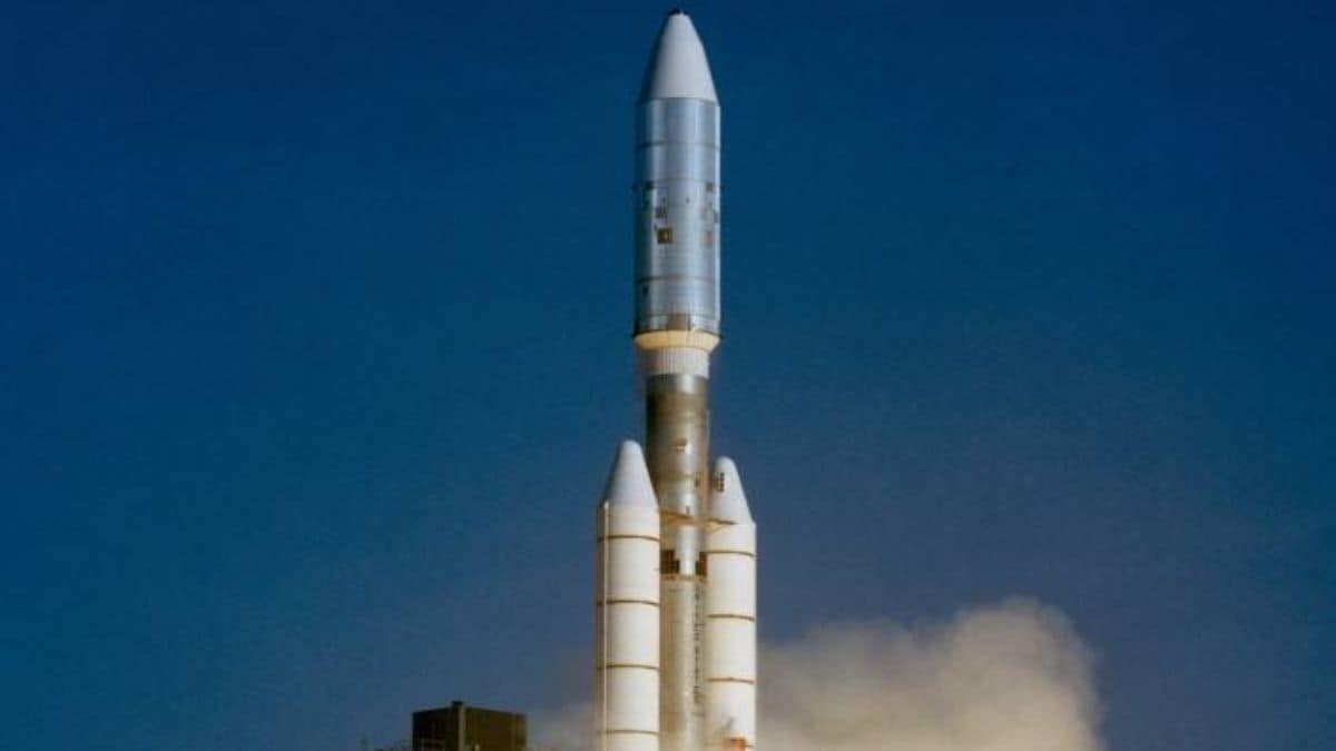
A SpaceX rocket has launched a U.S.-French satellite to conduct a first-of-its-kind global survey of Earth's surface waters. The mission is designed to highlight the consequences of climate change on large water bodies.
The booster rocket, called Falcon 9, is owned and operated by Elon Musk's commercial rocket company SpaceX. The Falcon 9 booster carrying the satellite reached Earth's orbit in just 9 minutes.
You may be interested in

-
 83.82 x 12.7 x 20.32 cm
 - 1.64 kilograms
- 1 year manufacturer warranty
- 20.32 x 17.78 x 6.35 cm
- 0.77 kilograms
- Lifetime warranty

The mission's payload, the Surface Water and Ocean Topography satellite (SWOT) was released to its starting orbit about 530 miles (850 km) above the planet less than an hour after launch.
The centerpiece of the satellite is advanced microwave radar technology for accumulating high-definition measurements of oceans, lakes, reservoirs, and rivers over 90% of the globe.
One major objective of the mission is to explore how oceans absorb atmospheric heat and carbon dioxide, in a process that naturally regulates global temperatures and has helped to minimize climate change.
Scanning the seas from orbit, SWOT will be able to measure fine differences in surface elevations around the smaller currents and maelstroms where much of the oceans' drawdown of heat and carbon is believed to occur.
The survey will help scientists understand the tipping point where oceans start releasing, rather than absorbing, large amounts of heat back into the atmosphere, thus intensifying global warming instead of limiting it.
SWOT's ability to distinguish far smaller surface features over much wider areas than previous satellites also will help study the impacts of rising ocean levels on coastal regions.
SWOT's three-year mission will enable researchers to better trace fluctuations in the planet's rivers and lakes during seasonal changes and major climates. SWOT's radar instrument operates at the Ka-band frequency of the microwave spectrum.
This allows scans to penetrate cloud cover and darkness and map observations in two dimensions. The satellite is expected to begin producing research data within months.
Catch all the Latest Tech News, Mobile News, Laptop News, Gaming news, Wearables News , How To News, also keep up with us on Whatsapp channel,Twitter, Facebook, Google News, and Instagram. For our latest videos, subscribe to our YouTube channel.
More From This Section