How scientists track us to help control Covid-19
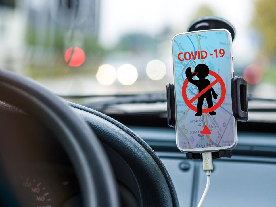
The mission is to fight the pandemic’s spread by testing the effectiveness of stay-at-home and social-distancing policies using a single tool: your cell phone’s physical location.
It wasn't ordered up by Washington, it doesn't have a catchy name and its members don't get paid. But the Covid-19 Mobility Data Network could mean the difference between life and death.
The network sprang up voluntarily among universities, epidemiologists, public-health departments, database providers, advertising-technology companies and social-media giants like Facebook Inc. Their mission is to fight the pandemic's spread by testing the effectiveness of stay-at-home and social-distancing policies using a single tool: your cell phone's physical location.
The new data-sharing relationship is just one way companies, academics and public-health officials are teaming up to curb the spread of coronavirus. The network is analysing the data and sharing insights with governments in states like Massachusetts and California; in cities such as Boston, New York and Miami; and in other countries, including India, Italy and Spain.
"A lot of these companies just came out of the woodwork," said Andrew Schroeder, one of the network's coordinators. "There's a lot of location data out there," he said, which needs to be shaped "into something that's not just the Wild West, but is passing through an expert filter on what this means for public health."
The data show whether people are complying with stay-at-home and social distancing orders that have spread across the U.S. and countries around the globe.
Also Read: Pegasus creator NSO Group has a Covid-19 software: Why you should be worried
For example, people taking trips outside their neighborhoods in San Francisco decreased 40% to 50%, but dropped only 20% to 30% in other parts of California, Shroeder said.
In New York City, residents were more mobile during the week than they were on weekends, and mobility rates were higher on Staten Island than in lower Manhattan, he noted.
Facebook on Monday announced that it was expanding the kinds of location data it provides to researchers tracking the pandemic, which has infected more than 1.3 million people and claimed more than 74,000 lives worldwide.
The company, which normally uses such data to help sell targeted advertising, has been sharing it with researchers in an anonymised, aggregated form since 2017 to track things like whether people evacuate disaster zones.
The data sets are now being used by dozens of organizations studying Covid-19, the disease the virus causes. The expansion of the program means Facebook will also share more nuanced details on whether people are staying at home, or the "probability that people in one area will come in contact with people in another," the company wrote on its blog.
The network is also working with Camber Systems, a Washington-based data-analytics company, and will soon team up with Cuebiq Inc., a New York-based data-collection company, to provide reports to "decision-makers who are implementing social distancing interventions," according to the network's website.
It's in talks with Alphabet Inc.'s Google about using data from the search giant. Google is posting "mobility reports" to show how traffic to places such as parks and transportation hubs has declined.
The mobility data project, which started in early March, is similar to work that Schroeder, along with others such as Caroline Buckee, an associate professor of epidemiology at Harvard University, had been doing to analyze mobility rates in disaster situations.
Schroeder, vice president of research and analysis for public-health nonprofit Direct Relief, had worked with Buckee on travel trends in Mozambique after a cyclone tore through the country in 2019. He's taken on similar initiatives for Houston after a tropical storm hit last year and for California after wildfires ravaged the state, Schroeder said.
Once they realized the need for data would probably be greater than in previous natural disasters, Schroeder, Buckee and Satchit Balsari, another Harvard professor and medical doctor, came up with the network idea. They recruited others who had done similar work and reached out to government contacts to ask how they could help, Schroeder said.
"All of these various public-health departments around the country were making these pretty big calls on shutting down big chunks of the economy and society," said Schroeder. "Nobody had any visibility at all" into the question: "Are people listening to you when you say that everyone should stay home? Do they stay home?"
Camber Systems is processing anonymized geo-location data from millions of U.S. cell phones and passing it to the mobility network, Schroeder said. The company receives the data from firms in the advertising-technology industry, and then strips it of any names, addresses or other personal identifying details before handing it to researchers in a digestible format. The data are refreshed every few hours to track how devices are moving throughout a region. Camber Systems declined to comment.
The increased ability of mobile-app providers and digital-advertising companies to track cell-phone owners' positions has made such projects possible -- and elicited criticism from consumer advocates concerned about privacy violations.
Some fear that an emphasis on health over privacy could undermine the protection of civil liberties, similar to what happened after 9/11, when the U.S. secretly began collecting mass amounts of data on its own citizens in an effort to track down terrorists.
Facebook and the mobility network insist that no one's privacy is being jeopardized, and that no governments are receiving raw data. "We're not aware of any active conversations or asks with the U.S. or other governments at this point asking for access to that data directly," Facebook Chief Executive Officer Mark Zuckerberg said March 18.
Since May 2019, Facebook has offered what it calls "disease prevention maps" to researchers and nonprofits. It hands over anonymous user-movement data that is aggregated into 0.6 kilometer-sized grids and updated every 8 hours, according to Schroeder.
The researchers use that information to calculate changes in the number of trips Facebook users in a specific region take outside their homes in a day. Facebook said it only shares data from users who have opted in to the company's location-tracking settings.
In the coronavirus outbreak, the maps have found multiple uses. Direct Relief, the humanitarian aid group that Schroeder works for, has used them to help determine where to distribute medical supplies, he said. Researchers at Taiwan's National Tsing-Hua University are using the data to model possible outbreaks of the disease on the island, said Hsiao-Han Chang, a professor at the university.
Harvard researchers are also using Facebook's data sets to study the effects of government social-distancing advisories. "We have no idea what they actually do in terms of subsequent epidemiology of the disease," said Harvard's Buckee. "Policy makers want to know things like, 'Which of these policies actually work? And how long are we going to have to do them?'"
"We are acting as an intermediary to help make sure that this information is processed together correctly," Schroeder said. "We can help people make sense of it and not just dump a bunch of raw data on them."
Catch all the Latest Tech News, Mobile News, Laptop News, Gaming news, Wearables News , How To News, also keep up with us on Whatsapp channel,Twitter, Facebook, Google News, and Instagram. For our latest videos, subscribe to our YouTube channel.


