First ever HR image of Earth's interior, 3,000 KM below surface, captured; may unravel mystery of earthquakes, volcanoes
The researchers from the University of Cambridge have shared the first high-resolution image of Earth's interior. Know details.

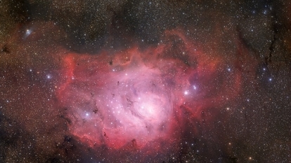
We do get new updates and unseen visuals almost on a daily basis for outer Space including galaxies, formation of stars, black holes, asteroids, comets and more. But when it comes to knowing about our own planet Earth and its interior, then there is a scarcity of visuals of any kind. However, that may have changed as a joint research project from the UK has published a study into one of the least known parts of the Earth's interior - the core, mantle, and boundary. The research has shared the highest quality image of the Earth's interior so far!
The research on Earth's interior has made interesting and valuable observations into the ultra-low velocity zone that lies around 3,000 KM below the Earth's surface using new imaging techniques. So far, we just have an idea about this untraveled area of Earth from analyzing seismic waves that flow through the planet. Without any proper visual, it has been difficult to make much more sense of the layers of Earth beyond some grainy images which make it difficult to analyse.
You may be interested in
-
 45.72 x 17.78 x 35.56 cm
 - 1.91 kilograms
- 2 Years warranty

- 41.91 x 25.4 x 74.93 cm
- 1.66 kilograms
- 2 Years warranty


Thanks to the new study by the University of Cambridge, now the study of the mantle below Hawaii has produced more high-definition images. It is said to be the first detailed 'image' of an unusual pocket of rock at the boundary layer with Earth's core, some three thousand kilometres beneath the surface of Earth. “Of all Earth's deep interior features, these are the most fascinating and complex. We've now got the first solid evidence to show their internal structure - it's a real milestone in deep earth seismology,” Zhi Li, the lead author and PhD student at Cambridge University said.
How researchers snapped the FIRST detailed image of Earth's core
The team built new computational models to generate the images, which collect high-frequency data from the study region and construct a clear image. Using this technique, researchers were able to construct a kilometer-scale view of the rock pocket with resolutions that had been magnitudes better than traditional methods. This approach is presently being used to investigate the border between the Earth's iron-nickel core and surrounding mantle in order to better understand one of the key engines for plate tectonics, volcano building, and other related phenomena like earthquakes.
Not just that, many scientists believe that there is a link between ultra-low velocity zones and volcanic hotspots. And using this new technique, now scientists may be able to better assess whether these hotspots are the reason behind the volcanic eruptions or not.
Catch all the Latest Tech News, Mobile News, Laptop News, Gaming news, Wearables News , How To News, also keep up with us on Whatsapp channel,Twitter, Facebook, Google News, and Instagram. For our latest videos, subscribe to our YouTube channel.
More From This Section