NASA looks back in time, creates sky map spanning 12 years courtesy tech marvel NEOWISE
NASA has created a map of sky which provides a glimpse into the past! Here’s what you need to know.


 View all Images
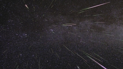
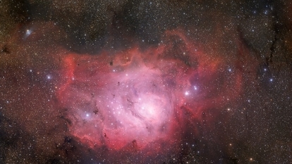
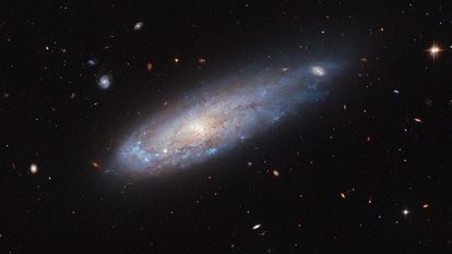
Did you know that NASA has a way to map the entire sky? No, it does not work like Google Maps where Google uses satellites for satellite navigation combined with Google Car collecting data for Street View. Instead, NASA uses one of its explorer satellites to map the sky by studying and stitching data together. NASA's Near-Earth Object Wide Field Infrared Survey Explorer, or NEOWISE completes half its trip around the Sun every six months. The spacecraft takes images throughout the journey which are stitched together to form a sky-map, according to NASA. This sky-map shows the positions and the brightness of millions of celestial objects in space.
Amy Mainzer, principal investigator for NEOWISE at the University of Arizona in Tucson said in a NASA blog, “If you go outside and look at the night sky, it might seem like nothing ever changes, but that's not the case. Stars are flaring and exploding. Asteroids are whizzing by. Black holes are tearing stars apart. The universe is a really busy, active place.”
You may be interested in


But the NEOWISE wasn't always built for this purpose. It was a data retrieval project to get back asteroid detections and characteristics from WISE, a NASA observatory launched back in 2009. In 2011, the coolant aboard the spacecraft ran out, which is necessary as the spacecraft used cryogenically cooled detectors that made them sensitive to infrared light. Since the spacecraft's infrared sensors were working efficiently, NASA repurposed it to track various Near-Earth Objects (NEOs) such as asteroids, and it was named NEOWISE.
Peter Eisenhardt, an astronomer at NASA's Jet Propulsion Laboratory and WISE project scientist said, “We never anticipated that the spacecraft would be operating this long, and I don't think we could have anticipated the science we'd be able to do with this much data.”
As of now, NASA has stitched 18 sky maps together using the images captured by the NEOWISE, with 19th and 20th maps to be released around March 2023. With the help of these maps, NASA scientists have created a time-lapse of the sky, showing the changes in position of numerous celestial objects, spanning across the last 12 years.
This move will help in better understanding of our Universe and enable scientists to study the changes in positions and brightness of space objects in the last decade. This is called Time-Domain Astronomy.
Catch all the Latest Tech News, Mobile News, Laptop News, Gaming news, Wearables News , How To News, also keep up with us on Whatsapp channel,Twitter, Facebook, Google News, and Instagram. For our latest videos, subscribe to our YouTube channel.
More From This Section